Using the Catalog view
Navigating using the Catalog
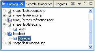
The catalog view is used to show spatial information currently in use by the application. The catalog view shows information divided up by:
- Service: Examples of services include Web Features Servers, Databases, and Filenames
- Layers: Layers include the contents of a shapefile, individual layers from a Web Map Server, or syntheic layers such as a scalebar

Using the Catalog there are several ways to make use of layers:
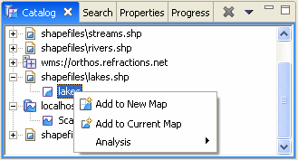
- Select a layer and right click to bring up the context menu:

- Choose Add to New Map to create a map based on this layer
- Choose Add to Current Map to use this content with you current editor
Drag and drop layer or service information into the current Editor, or Projects view